- Grade
- Moderate
- Distance
- 12 km there and back
- Walking time
- 5–6 hours
- Altitude
- 640 m
- Best months
- Oct – Feb
- Start point
- Kutladampatti
- District
- Madurai
- Nearest station
- Madurai Junction
- Nearest airport
- Madurai, ~30 km
About this trail
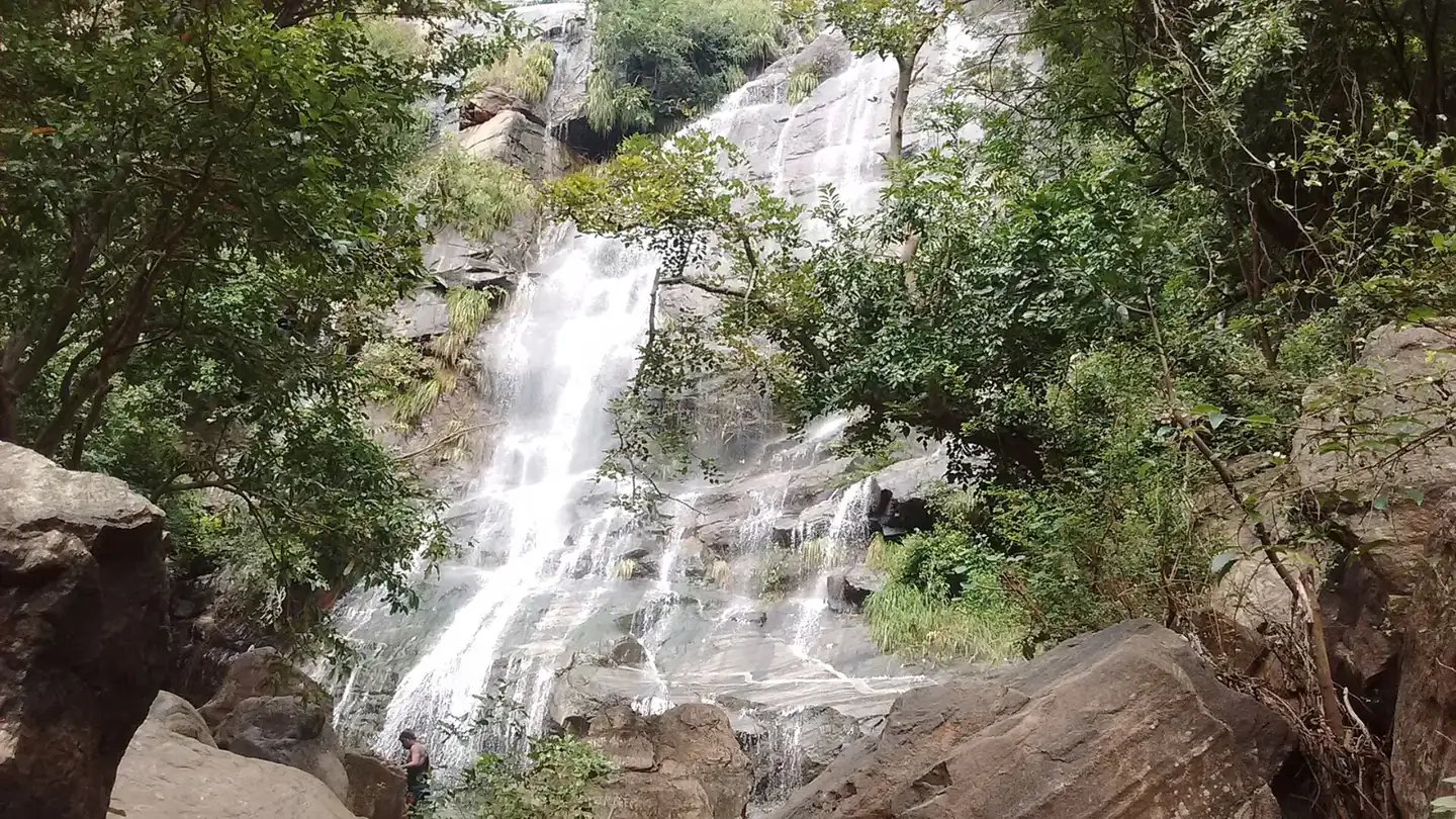
Kutladampatti, best known for its waterfall west of Madurai, is also the starting point for a proper hill walk. The Thadagai route leaves the base, crosses forest and a good deal of bare rock, and climbs to a viewpoint that looks out over the countryside and the hills around it. The ground is uneven in places, which gives the trek its moderate grade.
The round trip is 12 km and takes five to six hours. Reporting is at 6 AM, the viewpoint is usually reached around 10:30, and the group is back by about 1 PM. Packed breakfast and lunch can be arranged. Some basic fitness and good grip on your shoes will help a lot.
Highlights
- Views across the plains around Madurai
- Rocky hill terrain
- Early start, finish by early afternoon
- Packed meals can be arranged
- Close to Madurai city
How the day goes
- 6:00 AMReport at Kutladampatti, register and join the briefing.
- 6:30 AMStart the climb through forest and rocky ground.
- 8:00 AMStop at a viewpoint for refreshments.
- 10:30 AMReach the Thadagai viewpoint and rest.
- 1:00 PMReturn to base after the descent.
Getting there and staying over
- By train: Madurai Junction
- By air: Madurai, ~30 km
- Stay: Day trek; hotels in Madurai.
What to carry
- Photo ID
- 3 litres of water
- Hat and sunscreen
- Trekking shoes
- Energy snacks
- Camera
Good to know
These are guided trails run with the Tamil Nadu Forest Department, and each has a daily limit on walkers. Book a few days ahead, carry the same photo ID you booked with, and expect a trail to close at short notice after heavy rain or when elephants are active nearby. We book the permit, arrange the car to and from the start point and, if you want, a hotel nearby for the night before.
More trails like this
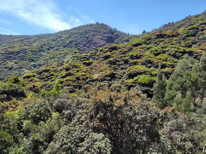 Moderate11 km · 6 hrsNilgiris · AvalancheAvalanche – Kolaribetta (via Cauliflower Shola)
An 11 km out-and-back from Avalanche through Cauliflower Shola and wattle groves to Kolaribetta, looking over Mukurthi and Upper Bhavani.
Best: Oct – MarView trail →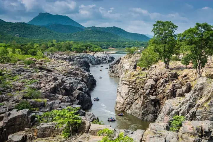 Moderate12 km · 5–6 hrsKrishnagiri · DenkanikottaiBiligundulu – Rasimanal
A point-to-point ridge walk in the Eastern Ghats on the Karnataka border, from Biligundulu to Rasimanal above the Cauvery valley.
Best: Oct – MarView trail →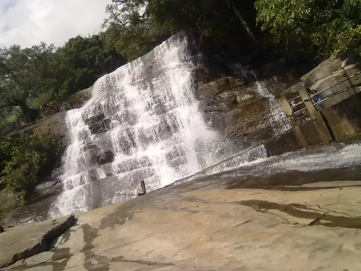 Moderate12 km · 6 hrsTheni · Meghamalai foothillsChinna Suruli – Thenpalani
A one-way forest walk in Theni's Meghamalai foothills, starting at the Chinna Suruli falls and ending in the quiet Thenpalani valley.
Best: Sep – FebView trail →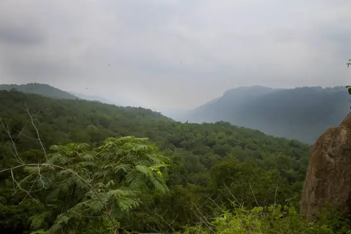 Moderate14 km · 6–7 hrsKrishnagiri · DenkanikottaiGuthirayan Peak
A full morning's climb in Krishnagiri's Eastern Ghats, from the foothills to Guthirayan Peak and back, with ridge views across the hills.
Best: Oct – MarView trail →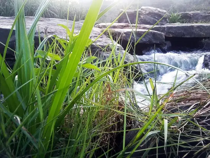 Moderate18 km · 7 hrsKanniyakumari · KalikesamInjikadavu Forest Trail
A long day walk inside the Kanniyakumari Wildlife Sanctuary, from Kalikesam through mixed forest and grassland to Injikadavu and back.
Best: Oct – MayView trail →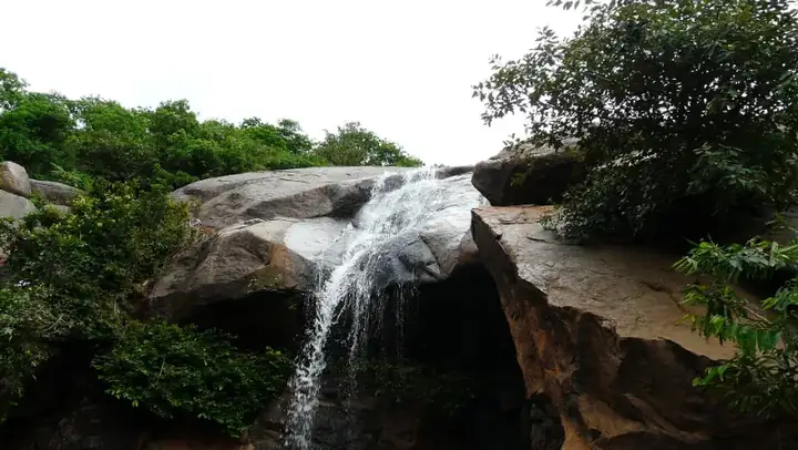 Moderate8 km · 5 hrsTirupattur · YelagiriJalagamparai Falls Trail
A walk down from the Yelagiri hills along a stream to Jalagamparai Falls, then a steady climb back up, all in about five hours.
Best: Oct – MayView trail →Book this trek
Send us your date and group size. We will confirm the slot with the forest team and share the reporting time, car and total cost.
