- Grade
- Moderate
- Distance
- 11 km there and back
- Walking time
- 6 hours
- Altitude
- 2625 m
- Best months
- Oct – Mar
- Start point
- Avalanche Reception Point
- District
- Nilgiris
- Nearest station
- Ooty, ~31 km
- Nearest airport
- Coimbatore, ~108 km
About this trail
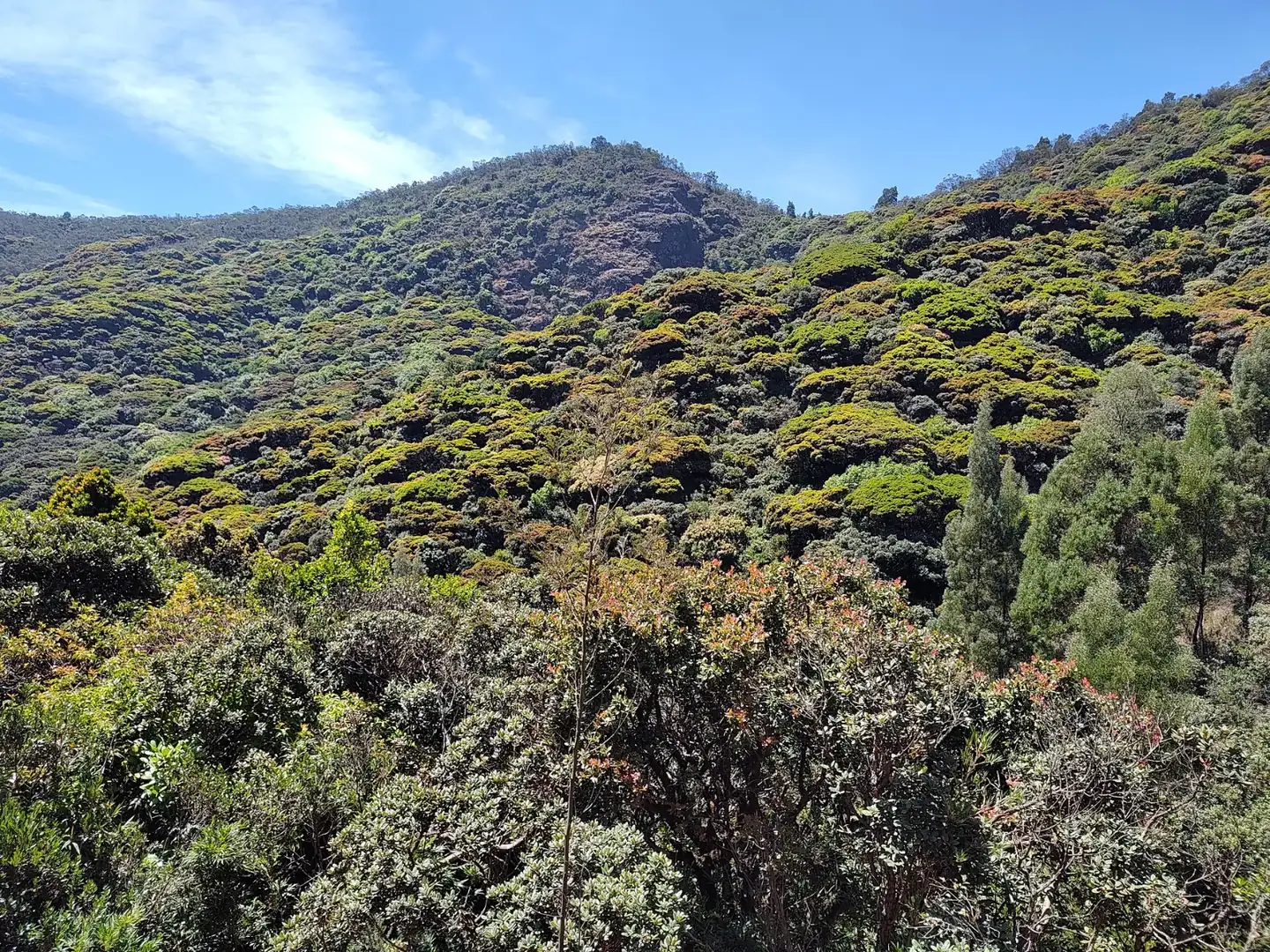
This route shares its start with the Devarbetta trek but turns towards Kolaribetta, one of the highest points around Avalanche at about 2,600 metres. On the way up you move from the shade of Cauliflower Shola onto grassland, cross old wattle plantations and pass small falls that run strongest after the rains. The tower on top gives a clear line of sight to Mukurthi Peak and the Upper Bhavani reservoir.
You go up and come back on the same path, about 11 km in all over roughly six hours. The gradient is steady rather than sharp, so fairly fit beginners can manage it at a sensible pace. Mornings between October and March tend to be the clearest.
Highlights
- Views of Mukurthi Peak and Upper Bhavani Dam
- Kolaribetta tower at about 2,600 metres
- Shola, grassland and wattle groves in a single walk
- Small seasonal waterfalls along the way
- Ends back where it started
How the day goes
- MorningCheck in at the Avalanche reception point and join the guide's briefing.
- Into the sholaClimb gently through Cauliflower Shola towards the grass slopes.
- Wattle beltCross the old plantations and stop by the small falls for water.
- KolaribettaReach the tower, take in the view of Mukurthi and eat your snacks.
- ReturnWalk back down the same path to the reception point.
Getting there and staying over
- By train: Ooty, ~31 km
- By air: Coimbatore, ~108 km
- Stay: Base yourself in Ooty, or pick a homestay near Emerald or Avalanche.
What to carry
- Photo ID
- Warm layer for the top
- Light rain jacket
- Shoes with firm grip
- 2 litres of water
- Packed snacks
- Cap and sunscreen
Good to know
These are guided trails run with the Tamil Nadu Forest Department, and each has a daily limit on walkers. Book a few days ahead, carry the same photo ID you booked with, and expect a trail to close at short notice after heavy rain or when elephants are active nearby. We book the permit, arrange the car to and from the start point and, if you want, a hotel nearby for the night before.
More trails in Nilgiris
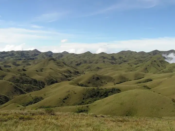 Tough13 km · 6 hrsNilgiris · AvalancheAvalanche – Devarbetta (via Cauliflower Shola)
A hard one-way day in the upper Nilgiris, crossing Cauliflower Shola and open grass ridges on the way to the high ground at Devarbetta.
Best: Oct – MarView trail → Easy4 km · 2 hrsNilgiris · BaraliyarBaraliyar Forest Trail
A short, easy stream-side walk off the Mettupalayam–Coonoor ghat road, good for families and anyone trying a forest trail for the first time.
Best: Oct – MayView trail →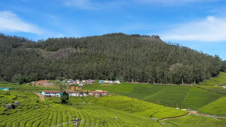 Easy3 km · 2 hrsNilgiris · OotyCairn Hill Forest Walk
A calm 3 km forest walk just outside Ooty, under tall cypress and mossy shola trees, ending at a watchtower with views over the woods.
Best: Oct – JunView trail →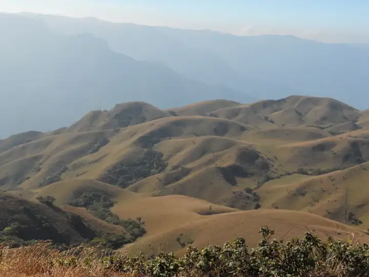 Easy8 km · 4 hrsNilgiris · Mukurthi National ParkGenepool Trail, Mukurthi
An 8 km loop through the grasslands and shola of Mukurthi National Park, dipping into the Genepool valley before returning to base.
Best: Oct – MayView trail →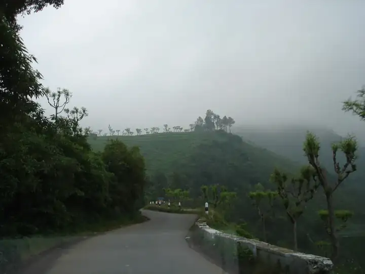 Moderate6 km · 3 hrsNilgiris · KotagiriKarikaiyur – Porivarai Rock Paintings
A short forest walk from Karikaiyur to Porivarai, one of South India's largest rock-art sites, with hundreds of ancient paintings.
Best: Sep – MarView trail →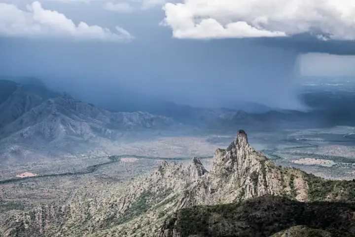 Moderate8 km · 4 hrsNilgiris · KotagiriKarikaiyur – Rangasamy Peak
A half-day climb from Karikaiyur through shola and grassland to the Rangasamy Peak viewpoint, about 20 km from Kotagiri.
Best: Oct – MarView trail →Book this trek
Send us your date and group size. We will confirm the slot with the forest team and share the reporting time, car and total cost.
