- Height
- About 975 ft
- Best viewpoint
- Dum Dum Rock
- Nearest town
- Batlagundu
- Nearest airport
- Madurai (about 120 km)
- Nearest railway station
- Kodai Road (about 80 km)
- Drive from Kodaikanal
- 1 to 1.5 hours
Where to see it
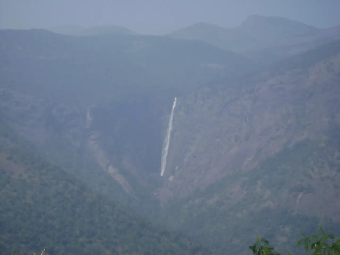
The classic view is from Dum Dum Rock, a lookout on the Kodaikanal ghat road. On a clear day the falls appear as a slim white line across the valley. Mornings after rain usually give the fullest flow and the sharpest visibility; in the dry months the stream thins out.
At the top, small concrete walls have been built on either side to guide the water into a narrow channel, and some visitors walk along these. Stay well back from the edge, as the rock is often wet and slippery.
Water safety
The stream rises near Perumalmalai village, about 9 km upstream, and the water is not safe to drink. Swimming is not advised either. Carry your own drinking water.
Trekking to the base
Experienced trekkers sometimes attempt the route to the foot of the falls from the Manjalar dam side or from Perumalmalai. It is steep, passes through thick forest and should only be tried with a local guide and the necessary forest permission.
How to reach
Batlagundu is the nearest town, around 15 to 20 km from the viewpoints. From Kodaikanal, the drive to Dum Dum Rock takes one to one and a half hours. Madurai International Airport is about 120 km away, and Kodai Road railway station about 80 km away, both with taxis and buses onward. Government buses link Kodaikanal with Batlagundu, Dindigul and Madurai throughout the day.
We can stop at the viewpoint on the way up to Kodaikanal as part of a hill-station trip, so it needs no separate outing. The view is usually best in the weeks after the monsoon rains, when the falls carry more water and the air is clear.
Also nearby
Plan it with us
Tell us your dates and who is travelling. We will build the route, book the car, driver and hotels, and send you a clear quote.
