- Grade
- Moderate
- Distance
- 16 km there and back
- Walking time
- 5 hours
- Altitude
- 1106 m
- Best months
- Oct – May
- Start point
- Urulikkal Forest Check Post, Valparai
- District
- Coimbatore
- Nearest station
- Pollachi, ~72 km
- Nearest airport
- Coimbatore, ~122 km
About this trail
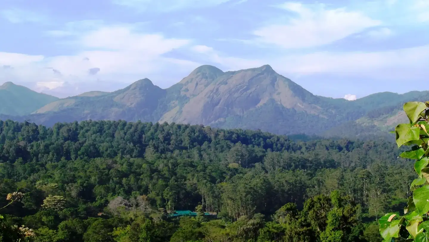
Manambolly lies deep in the Anamalai Tiger Reserve, on the stretch of forest between Valparai and the Sholayar dam. The route from the Urulikkal check post passes through tall semi-evergreen forest, crosses clear streams and stays inside prime wildlife habitat almost the whole way. Lion-tailed macaques, langurs, sambar, gaur and great hornbills are all resident, and birdlife is rich.
The round trip is 16 km and usually takes around five hours. The path is fairly even, but the distance and humidity make it a moderate day. Walk quietly, follow the guide and give any animal plenty of room. Leeches are common after rain, so leech socks are worth packing.
Highlights
- Inside Anamalai Tiger Reserve
- Chance to see lion-tailed macaques and hornbills
- Dense semi-evergreen forest
- Streams along the route
- Near Valparai
How the day goes
- ReportingArrive at Urulikkal check post and complete formalities.
- BriefingMeet the guide and hear the safety rules.
- Forest walkWalk into the semi-evergreen forest towards Manambolly.
- TurnaroundTake a refreshment break at the turnaround point.
- ReturnWalk back to the check post.
Getting there and staying over
- By train: Pollachi, ~72 km
- By air: Coimbatore, ~122 km
- Stay: Not included; hotels in Valparai.
What to carry
- Photo ID
- 3 litres of water
- Leech socks
- Rain jacket
- Walking shoes
- Binoculars
Good to know
These are guided trails run with the Tamil Nadu Forest Department, and each has a daily limit on walkers. Book a few days ahead, carry the same photo ID you booked with, and expect a trail to close at short notice after heavy rain or when elephants are active nearby. We book the permit, arrange the car to and from the start point and, if you want, a hotel nearby for the night before.
More trails in Coimbatore
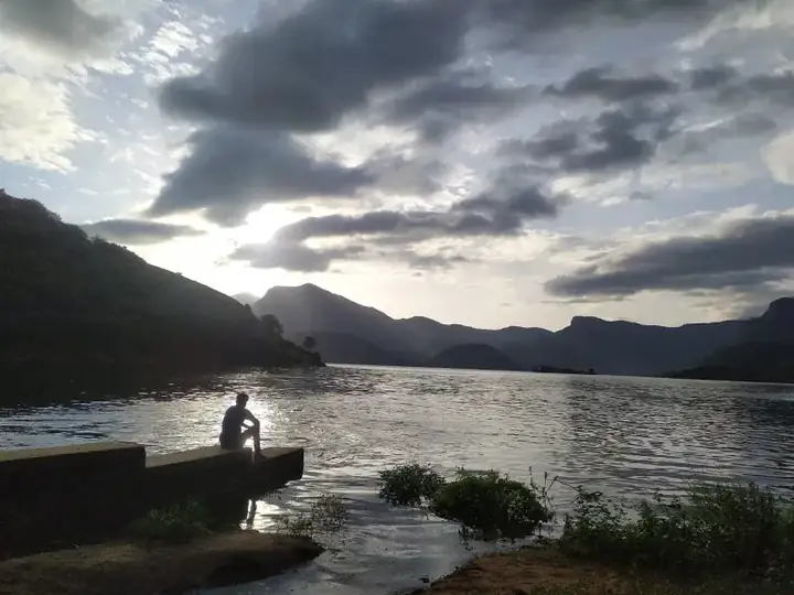 Easy8 km · 3 hrsCoimbatore · AliyarAliyar Canal Bank Trail
A level 8 km walk beside the Aliyar canal near Pollachi, with dry forest on both banks and a good chance of spotting birds and animal tracks.
Best: Jan – DecView trail →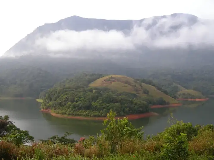 Moderate17 km · 7 hrsCoimbatore · Siruvani foothillsSadivayal – Siruvani
A long forest trek in the Siruvani foothills west of Coimbatore, with deciduous woods, cool streams and a fair chance of wildlife.
Best: Oct – MayView trail →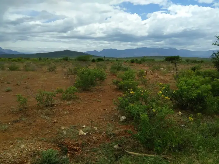 Moderate10 km · 6 hrsCoimbatore · AnaikattiSembukarai – Perumalmudi
A climb from the tribal village of Sembukarai near Coimbatore through forest to the rocky Perumalmudi summit and its views.
Best: Oct – MayView trail → Tough10 km · 6 hrsCoimbatore · Top SlipTop Slip – Pandaravarai Peak
A tough climb from Top Slip through Karian Shola and grassland to Pandaravarai Peak in the Anamalai Tiger Reserve, with wide views.
Best: Oct – MayView trail →Book this trek
Send us your date and group size. We will confirm the slot with the forest team and share the reporting time, car and total cost.
