- Best time
- December to February
- Highest point
- Chembra Peak, about 2,100 m
- Nearest airport
- Calicut International, Karipur; Kannur
- Nearest railway station
- Kozhikode / Mysuru
- Ideal time needed
- 3 to 4 days
Top sights
- Edakkal Caves on Ambukuthi Mala, reached by a steep climb, with prehistoric rock engravings thousands of years old and wide views
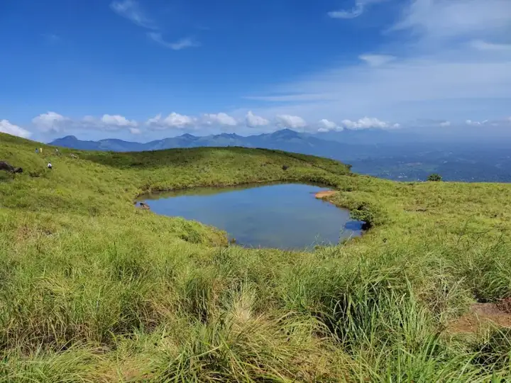
- Chembra Peak, the highest point in Wayanad at about 2,100 m, with a heart-shaped lake on the way up
- Meenmutty Falls, a three-tier waterfall reached by a forest walk of about 2 km
- Soochipara (Sentinel Rock) Falls near Kalpetta; the area is plastic-free
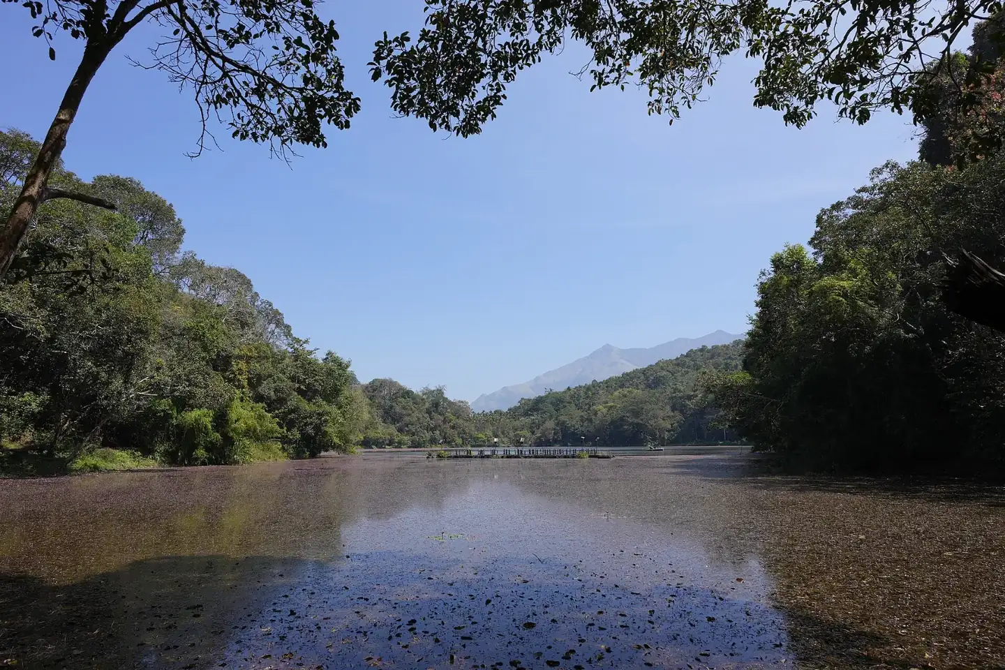
- Pookode Lake, with boating, spice stalls and a children's park
- Banasura Sagar Dam, said to be the biggest earthen dam in the country, with speedboats and walks up Banasura Hill
- Thirunelli Temple, an old Vishnu temple ringed by forest, called the Kashi of the south
- Muthanga Wildlife Sanctuary, for supervised safaris with chances to see elephants and gaur
- Phantom Rock, a skull-shaped rock with good views
- Kuruva Dweep, a protected river island with bamboo rafting, open in the drier months
- Pakshipathalam, a remote bird habitat reached only on a guided trek
Best time to visit
December to February is ideal, with cool days and cold nights, so pack a warm layer. March to May stays fairly mild thanks to the altitude. The long monsoon, from June into November, makes the district very green but brings heavy rain, leeches on forest trails and occasional closures of falls and treks.
How to reach
Calicut International Airport at Karipur is the usual gateway, a drive of a little over two hours, and Kannur airport is another option. Kozhikode and Mysuru are the nearest railway stations, with taxis and buses up to Kalpetta and Sulthan Bathery. Good roads also link Wayanad with Kannur and with Mysuru and Bengaluru.
Tips for your visit
Distances between sights are long and roads are winding, so plan three to four days. Book Chembra and Muthanga through the forest department in advance, and check whether Edakkal and Kuruva Dweep are open before you go.
Places to see in Wayanad
 SightWayanadWayanadChembra Peak
Chembra Peak near Meppadi is Wayanad's highest point at about 2,100 m, with a trek past tea estates to a heart-shaped lake and wide valley views.
Best: September to MarchRead guide →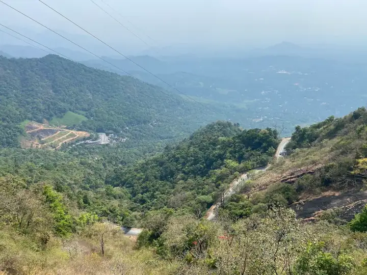 SightWayanadWayanadLakkidi
Lakkidi, the gateway to Wayanad: a rainy, forested viewpoint above the ghat road near Vythiri, close to Pookode Lake and Edakkal Caves.
Best: October to MarchRead guide →Also nearby
Plan it with us
Tell us your dates and who is travelling. We will build the route, book the car, driver and hotels, and send you a clear quote.
