- District
- Wayanad
- Best time
- Monsoon for greenery; December to February for walking
- Nearest airport
- Calicut International
- Nearest railway station
- Kozhikode
- Highest nearby peak
- Chembra (about 2,100 m)
About Vythiri
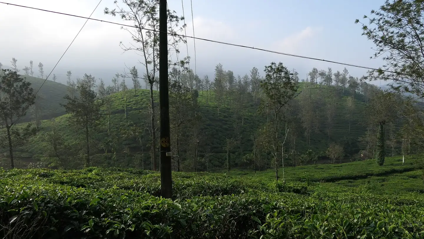
Wayanad takes its name, it is believed, from Vayal Nadu, the land of paddy fields. Around Vythiri the landscape is steep and green, with streams, small waterfalls and forest where you may spot Nilgiri langurs and Malabar giant squirrels. The hills offer plenty of short treks and plantation walks, and many stays here are set in the middle of estates or forest.
Places to see nearby
- Pookode Lake: a small natural freshwater lake a short drive away, shaped roughly like the map of India, with pedal boats and a forest walk
- Chembra Peak: Wayanad's highest point at about 2,100 m, with a heart-shaped lake on the trek up
- Banasura Sagar Dam: India's largest earth dam, with boating and island views
- Edakkal Caves: rock shelters with ancient carvings of human and animal figures
- Kuruva Island (Kuruvadweep): forested river islands, good for walks and birds
- Thusharagiri Falls: a set of waterfalls on the Kozhikode side, popular with trekkers
Best time to visit
Vythiri stays milder than the Kerala plains all year. The monsoon, roughly June to September, brings heavy rain and is when the forest and waterfalls look their best, though some treks close. December to February is cool and clear, and good for walking; March to May is warmer but still comfortable.
How to reach
The drive from Kozhikode climbs the Thamarassery ghat's hairpin bends and takes around two hours. Kozhikode railway station is the most practical railhead, and Calicut International Airport is the nearest airport. KSRTC buses run from Kozhikode, Mysuru and Bengaluru through Vythiri. We can arrange a car and a plantation or tree-house stay.
Also nearby
Plan it with us
Tell us your dates and who is travelling. We will build the route, book the car, driver and hotels, and send you a clear quote.
